The California Trail and Our Land
Our property sits within one of the most important migration corridors in American history—the California Trail. Between the 1840s and 1860s, more than 250,000 emigrants traveled west in search of land, gold, and opportunity, making this the largest overland migration in U.S. history.
After entering northeastern Nevada, the trail converged with the Humboldt River, which became the lifeline of the journey. Travelers followed this river for hundreds of miles because it provided water, grass for livestock, and a navigable path across the otherwise harsh Great Basin.
Why This Location Mattered
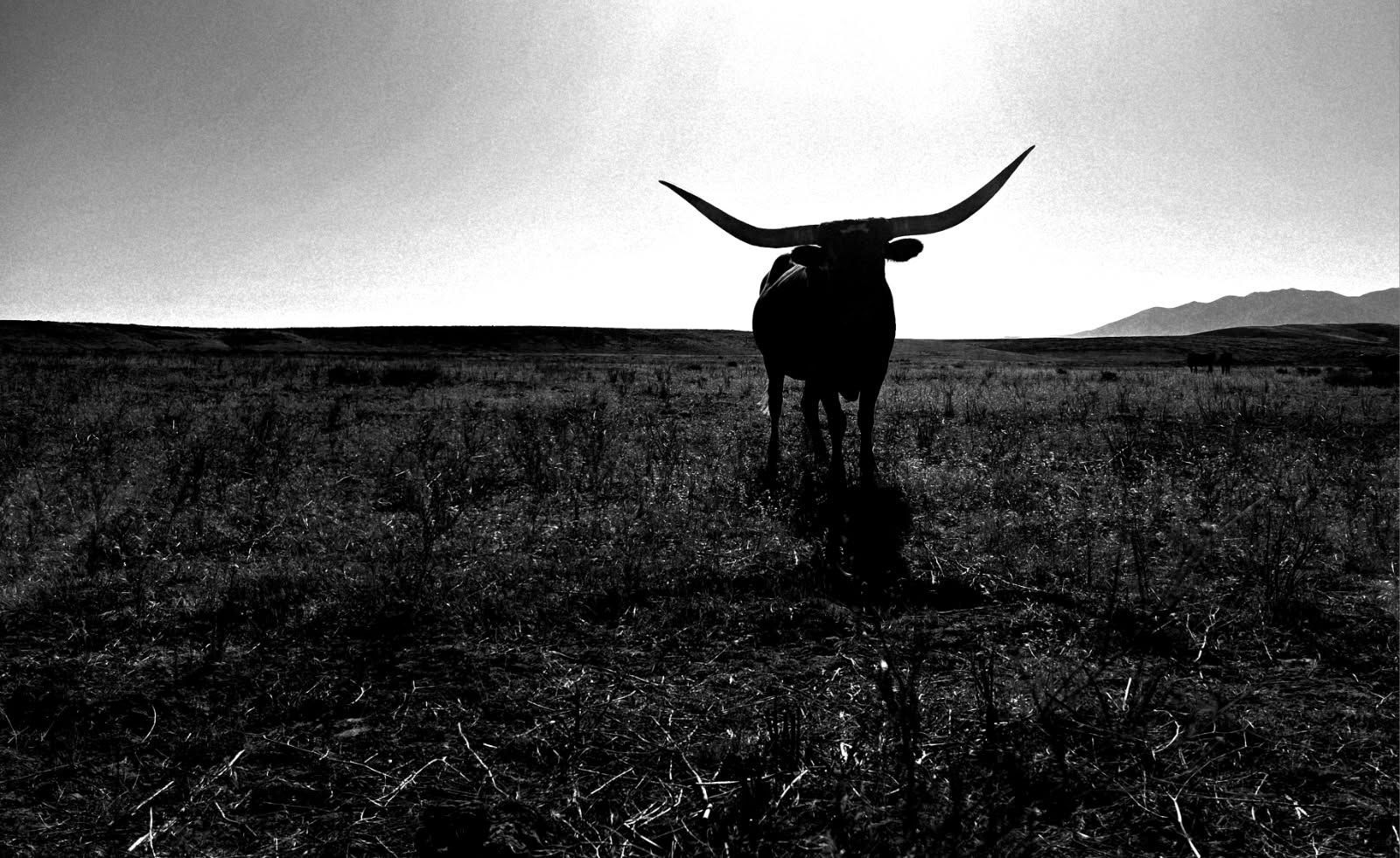
Our land, located just northwest of Deeth, sits in a strategically important stretch of that corridor.
This region lies between:
- The upper reaches of the Humboldt River system
- The Marys River drainage
- Open valley terrain ideal for camping and staging
For emigrants, water dictated everything. Rivers along the trail functioned as “the gas stations of the past,” providing critical places to rest, recover, and prepare for the next segment of the journey.
Given this geography, locations like ours naturally became informal outposts—places where wagon parties paused to:
- Water livestock
- Repair equipment
- Rest before continuing west
Evidence on the Land
During development of the farm, we uncovered original timbers from early structures—likely part of a homestead or trail-support outpost.
In addition:
- Structural remnants still stand approximately 200 yards south of the main property
- These ruins align with known patterns of temporary settlements and stopping points along the trail
These findings strongly suggest that this land was not just passed through—but used and relied upon by emigrants moving west.
The Broader Route Through Elko County
Most modern maps show the California Trail passing through Elko, but the reality is more complex.
The trail was not a single road—it was a network of shifting paths that followed water, terrain, and seasonal conditions.
In this region:
- The main corridor followed the Humboldt River valley
- Variants and side paths spread across nearby valleys like Starr Valley (your area)
- Travelers frequently adjusted routes to find better water, grass, or easier terrain
This makes your property’s location especially significant—it sits within one of these functional travel zones, not just a mapped line.
A Living Piece of Western History
Today, little remains of many California Trail sites. But here:
- Physical remnants still exist
- Original materials have been recovered
- The landscape itself remains largely unchanged
This land is more than farmland—it is part of a working historical corridor that once carried thousands of people across Nevada toward California.
Every timber, every ruin, and every stretch of open ground reflects a time when survival depended on places exactly like this.
Where We Sit on the Trail
Our property lies:
- Northwest of Deeth
- Within the greater Starr Valley corridor
- Along a natural route connecting the Marys River to the Humboldt River
This places it directly inside the operational zone of the California Trail, where emigrants moved, camped, and staged their westward journey.
Enjoy. Questions send us a mesage